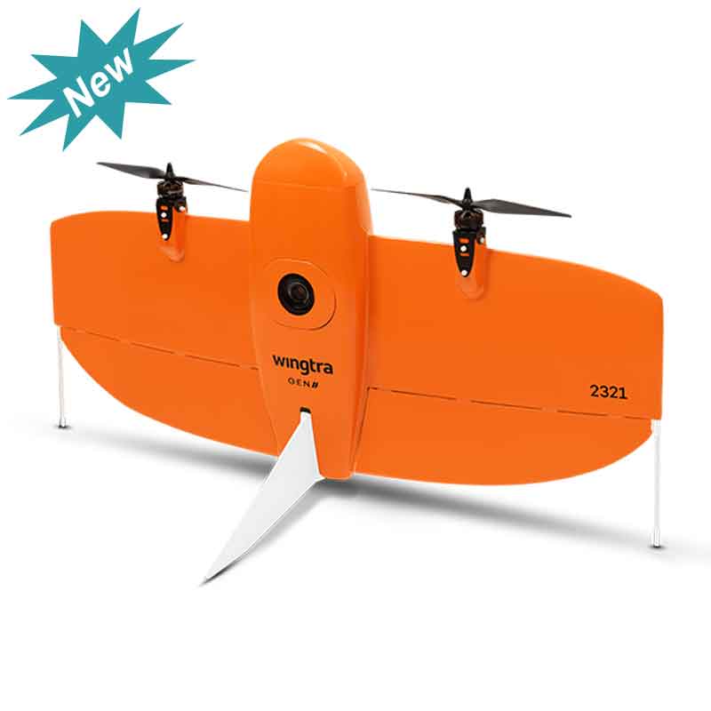
The next level of drone worksite reliability and mapping versatility Map faster WingtraOne’s unique set of features empowers you to minimize your time flying and get more work done, be it another project in the field or analyzing your data at the office. Map larger Whether it’s a highway, an industrial complex or a mine, you can now take on large projects that were previously impossible to map with a drone. And it takes you just a few hours. Map anywhere Thanks to its VTOL design, WingtraOne can take off and land almost anywhere—even in confined spaces or on rough terrain. This enables you to collect data where other drones cannot. Data quality that will set you apart Together with a multi-frequency PPK GNSS receiver and a 42 MP sensor, WingtraOne delivers best-in-class absolute horizontal accuracy, down to 1 cm (0.4 in) without GCPs.* A reliable workhorse No matter the conditions, WingtraOne operates safely and delivers high-quality data, consistently. WingtraOne is engineered and assembled in Switzerland. It demonstrates sharp results— even in wind— bolstered by predictive self-diagnosis and automated safety checks. Cut costs Faster data collection and expanded coverage equals fewer people in the field for less time. This lowers the man-hour costs associated with data collection.